

How Patrolfinder Uses Data to Make Streets Safer
Law enforcement agencies have long relied on instinct and routine to optimize patrols. Patrolfinder uses data to help agencies see where officers go — and where they don’t — to improve visibility and maximize coverage.
Patrolfinder
- Patrolfinder assists law enforcement in optimizing patrol routes using data analysis.
- The tool highlights areas frequently patrolled and those that are overlooked to enhance overall coverage.
- By enhancing visibility and strategic movement, Patrolfinder aims to improve street safety.
*Summarized by AI
How Patrolfinder Uses Data to Make Streets Safer
For many law enforcement leaders, it’s a familiar, nearly universal complaint — one that’s difficult to validate or refute with confidence.
Patrol officers may feel they’re covering their sectors thoroughly. Supervisors may trust their officers’ experience and instincts. But without clear, comprehensive data, no one can say with certainty where coverage is strong, sufficient or falling short.
For decades, supervisors have relied on a combination of institutional knowledge, officer discretion and limited analytics. While GPS tracking and computer-aided dispatch systems have improved visibility into where units are, they don’t provide a complete picture of where officers haven’t been — or how effectively patrol time is being used.
That gap is now driving a shift toward more data-driven approaches to patrol deployment. Inspired by and developed in partnership with working police chiefs, Patrolfinder was designed to measure, analyze and ultimately improve their presence in the communities they serve.
The Limits of Traditional Patrol
Traditional patrol models are built on experience. Officers familiarize themselves with their zones, develop routines and respond to calls for service as they arise. Supervisors rely on shift briefings and after-action discussions to communicate priorities. In some agencies, crime analysts provide hotspot data to guide deployment.
But even in well-run departments, gaps can persist.
Officers, like anyone else, tend to fall into patterns — relying on familiar routes and frequently traveled roads. Shift handoffs may not fully capture which areas received attention and which did not. And while GPS systems can show where a vehicle has been, they don’t highlight areas that may be consistently overlooked.
“GPS can tell you where you’ve been,” says Antonio Civitella, president and CEO of Schenectady, N.Y.-based Transfinder, the company behind the development of Patrolfinder. “But it can’t tell you where you have not been.”
The result is uneven coverage that can leave residential streets, parking lots and other lower-traffic areas underserved. These are often the very locations where opportunistic crimes — vehicle break-ins, thefts and burglaries — occur.
Without reliable data, agencies may also struggle to demonstrate patrol effectiveness to their communities or justify resource allocation when applying for grants or budget increases.
From School Buses to Police Cars
The push to address patrol management challenges didn’t originate in law enforcement. It began in student transportation.
Transfinder built its reputation developing routing and logistics software for school districts — helping map bus routes, improve efficiency and provide visibility to parents. The company’s expertise in managing movement and optimizing coverage laid the groundwork for what would become Patrolfinder.
The transition to policing began in 2016. Civitella’s high school classmate, Eric Clifford, was a member of the Schenectady Police Department and a candidate for chief. Clifford was familiar with Transfinder and wondered if the same technology could be applied to solve a law enforcement problem.
Clifford wanted to understand patrol coverage at a deeper level. Could Transfinder be adapted to tell supervisors not just where officers were going, but where they weren’t — and how coverage impacted crime rates?
That question sparked a multi-year development effort involving extensive engineering, testing and collaboration with law enforcement professionals. Early input from agency heads helped shape the platform’s functionality.
One key concept built into Patrolfinder’s DNA is “dosage,” derived from hotspot policing research and the work of criminologist Dr. David Koper. The principle is straightforward: spending a sustained amount of time in high-crime areas — as little as 10 to 15 minutes — can significantly reduce criminal activity.
“It’s not just about driving by,” Civitella explains. “It’s about being there, being visible and staying long enough to make a difference.”
Establishing a Baseline
Implementation of Patrolfinder’s patented platform takes a phased approach. Rather than immediately changing officer behavior, agencies begin by establishing a baseline.
In practice, that means installing the system in patrol vehicles and allowing officers to operate as usual for four to six weeks. During this period, the software collects data on movement patterns, coverage levels and time spent in specific areas.
Once enough data is gathered, analysts and command staff can begin to see where coverage may be lacking.
Interactive maps reveal which streets are frequently covered and which are not. Zones or sectors can be evaluated over different timeframes — 24 hours, 72 hours or longer — to assess consistency. Areas that receive little or no patrol attention become immediately visible.
From there, agencies can begin setting goals and adjusting deployment strategies.
In some cases, initial data shows that only a fraction of a patrol zone is being covered within a given timeframe. By identifying gaps and redistributing patrol efforts, departments can significantly increase coverage without adding personnel.
“Same cars, same officers,” Civitella says. “You’re just making them more efficient.”
Supervisors can also use real-time tools to direct patrol activity. If a specific area requires attention, a unit can be assigned directly through a map-based interface, allowing for quick adjustments based on emerging needs.
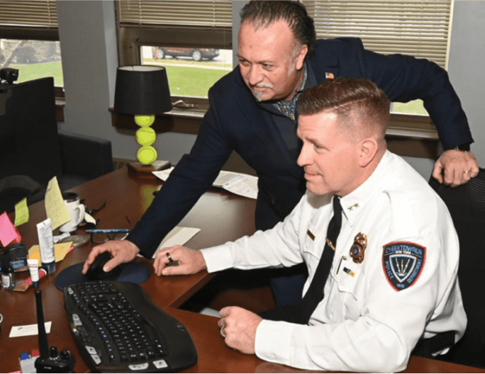
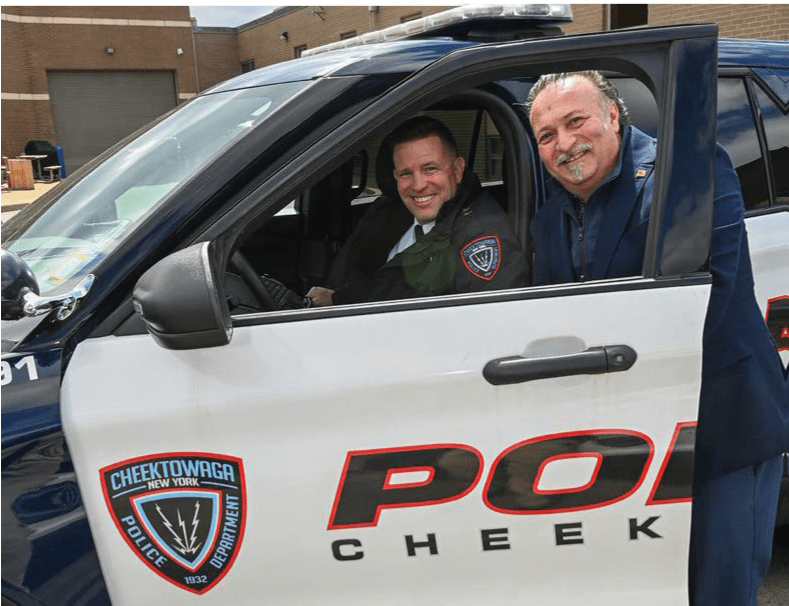
Antonio Civitella, President and CEO of Transfinder, the company that developed Patrolfinder, worked with Chief Brian Coons of the Cheektowaga (N.Y.) Police Department to refine and customize the system.
Patrolfinder
A Chief’s Perspective on Implementation
For Chief Brian Coons of the Cheektowaga (N.Y.) Police Department, the decision to adopt a data-driven patrol approach was initially driven by curiosity.
Like many law enforcement veterans, Coons believed his department already had strong coverage. Officers were assigned to districts, and it was generally assumed they were patrolling all areas within them.
The data told a different story.
“When we first looked at it, most of the cars were just on the main streets,” Coons says. “That’s where people tend to go.”
With that insight, the department began making adjustments — shifting patrol patterns to ensure more consistent coverage across residential areas and other less-traveled locations.
Coons says the impact was immediate. “In the first month, we increased coverage. And now we can actually measure it.”
The data and reporting have proven valuable in multiple ways. When residents raise concerns about a lack of police presence, the department can reference patrol data to provide a clear answer. When applying for grants, such as New York’s Gun Involved Violence Elimination (GIVE) program, the department can demonstrate how resources are being used.
Data has also enhanced operational decision-making. By analyzing call-for-service patterns and crime trends, the department can tailor patrol strategies by shift. Afternoon deployments may focus on traffic and retail areas, while overnight patrols emphasize residential neighborhoods where vehicle break-ins are more likely.
Integration with computer-aided dispatch systems further expands situational awareness, allowing officers to see calls and relevant information in real time.
“It gives us data for everything we do,” Coons says. “And it’s easy to use. The software does the work.”
Handling the ‘Big Brother’ Objection
As with any new technology, adopting a data-driven patrol system can raise concerns among officers. The most common objection is the perception of increased monitoring — a “Big Brother” effect that some fear could be used for disciplinary purposes.
Both Civitella and Coons emphasize that how the technology is introduced matters.
“There’s always going to be pushback with change,” Coons says. “But communication is key.”
In Cheektowaga, leadership made it clear that the system was not installed for punitive purposes. Supervisors were not expected to monitor officers continuously, and the data would be used to improve overall operations rather than single out individuals.
That approach helped build acceptance as officers began to see the benefits: Clearer patrol expectations, better alignment with crime patterns and improved outcomes all contributed to broader buy-in.
Younger officers, in particular, may be more comfortable with technology and more interested in measurable performance metrics. For others, understanding that similar tracking already exists through body cameras, license plate readers and other systems can help put concerns in perspective.
Budget considerations are another factor, but agencies are increasingly finding ways to offset costs through grants and demonstrated efficiencies.
“We charge by the license,” Civitella says. “It’s very affordable.”
The Future of Patrol Is Measurable
Law enforcement is steadily moving toward more evidence-based practices, and patrol operations are no exception.
Data-driven patrol strategies offer a way to move beyond assumptions — providing concrete insights into how resources are deployed and how those decisions impact public safety.
For agencies, the benefits extend beyond crime reduction. Improved transparency can strengthen community trust. Clear metrics can support funding requests and strategic planning. And more efficient use of existing personnel can help departments do more with limited resources.
Technology will continue to evolve, but Civitella says the underlying goal remains the same: Give law enforcement leaders the information they need to make better decisions, faster.
“We’re focused on making the data easier to understand and act on so chiefs can make decisions quickly.”
At its core, patrol is about presence. Where officers go — and how often — matters.
For agencies that have relied on instinct and experience alone, the addition of reliable data can be a powerful force multiplier. It doesn’t replace the judgment of seasoned officers, but it enhances it, filling in the gaps that intuition can miss.
And for the communities they serve, it helps answer a simple but important question: Are we being seen?
With the right tools and strategies in place, departments can ensure that the answer is yes — not just on the main roads, but on every street that depends on them.
This article reflects the views of Patrolfinder and does not necessarily represent the views of Police Magazine or Bobit Business Media.
Quick Answers
Law enforcement agencies have traditionally relied on instinct and routine to optimize patrols.
*Summarized by AI
More Technology

Pimloc Launches Secure File Sharing to Streamline Release of Redacted Video
Pimloc’s Secure File Sharing lets organizations deliver redacted video, audio, and documents through expiring, passcode-protected links, accelerating delivery while reducing security, compliance, and chain-of-custody risks.
Read More →
2026 Vision FirstNet Users Summit to Explore How FirstNet Fusion and LMR Are Redefining Mission-Critical Communications
One of the sessions at the 2026 Vision FirstNet Users Summit will highlight hybrid devices bridging broadband and LMR. “Bridging Broadband and LMR: FirstNet Fusion and the Rise of Hybrid Devices” will explore how public safety agencies can modernize their communications environments while maintaining the reliability of land mobile radio.
Read More →
Cellebrite Expands Exclusive SkySafe Partnership to Deliver Immediate Drone Detection and Airspace Intelligence for Digital Investigations at Scale
By integrating SkySafe's drone detection and airspace intelligence with Cellebrite's platform, agencies can connect real-time and historical UAV flight data with mobile forensic evidence, all in one place.
Read More →

New DroneShield Report Reveals Serious Gaps in Airport, Critical Infrastructure Counter-Drone Security
Survey results, as part of “Airspace Under Pressure: A Global Assessment of Counter-UAS Readiness Across Airports and Critical Infrastructure,” indicate that 60% of organizations say they lack legal authority to act against unauthorized drones.
Read More →
CHP to Accelerate Evidence Redaction & Public Records Fulfillment Through Veritone Redact
With Veritone Redact, the California Highway Patrol can redact video, audio, and image-based evidence, reducing time spent on evidence preparation and public record requests.
Read More →
Echodyne Expands Public Safety Radar Applications Through Partnership with Axon
Echodyne has partnered with Axon to support safer and more scalable drone operations across law enforcement, homeland security, and Drone as First Responder programs globally.
Read More →
Miami Police Department Deploys Airwayz’s Overwatch Platform During FIFA World Cup Events
The deployment of Airwayz’s Overwatch airspace management platform during the FIFA World Cup demonstrates the future of airspace infrastructure for managing, securing, and coordinating complex urban airspace environments.
Read More →
Crime Prevention by Merging Tech with Human Intervention
Elite Interactive Solutions tackles crime prevention with technology and human intervention, working closely with local police to provide insights when a response is needed. The key is to blend the latest in remote video monitoring, artificial intelligence, and a well-trained agent with eyes on the scene.
Read More →
Case Study Details Integration of Body-Worn Cameras with CAD
The Billerica Police Department (Massachusetts) improved transparency and accountability, sharpened evidence management, and reduced manual hours by integrating Axis Communications body-worn cameras with its Computer-Aided Dispatch (CAD) system.
Read More →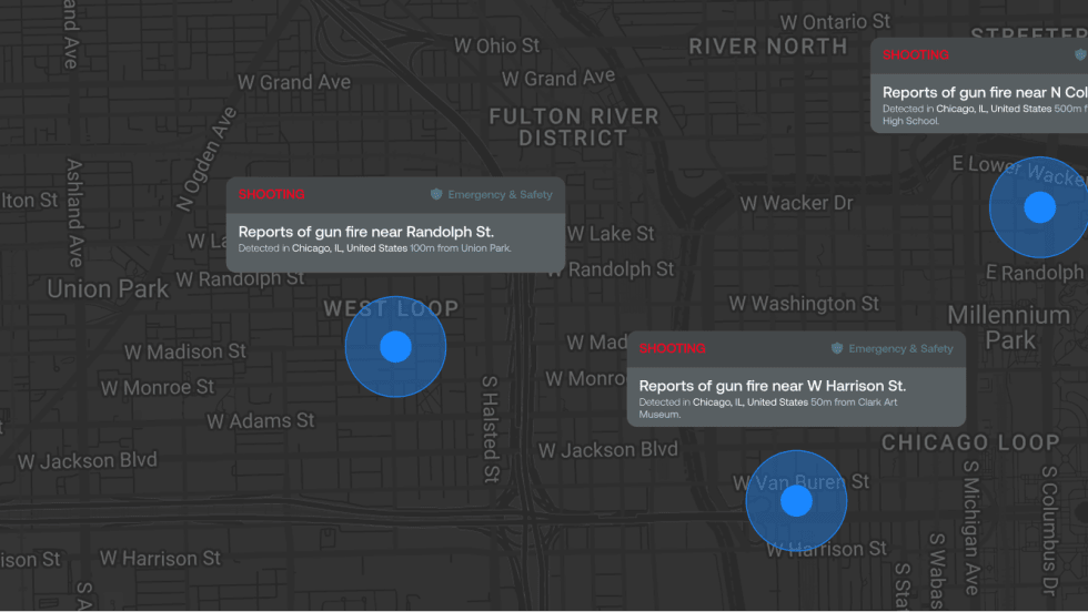
ZeroEyes Public Safety Alerts Integrates Samdesk for Real-Time Risk Detection and Awareness
ZeroEyes has integrated Samdesk into its Public Safety Alerts platform to deliver faster, verified intelligence to help organizations understand emerging risks and respond quickly.
Read More →