



Arkansas County Locates School Shooting Hoax 9-1-1 Caller With Solacom Mapping Software
Guardian Map is a geo-location and mapping feature that comes with Solacom’s Guardian 9-1-1 Solution, a user-centric voice, data, and video emergency call management solution for public safety answering points (PSAPs). Marion County 911 had the system installed on Feb. 28. Guardian Map allows call takers to view the location and status of all 9-1-1 calls right from their desktops.

Public safety and law enforcement officials in Marion County, AR, were able to quickly identify a 9-1-1 call about a school shooting as a hoax — and apprehend the caller — by locating the caller using Guardian Map, Next Generation 9-1-1 location technology from Solacom.
On March 13, Marion County 911 received a cellphone call from a caller who said someone armed with a shotgun was en route to “shoot up” a school in nearby Baxter County. Using Guardian Map, the call taker pinpointed the caller’s location and within 13 minutes, police were able to apprehend a 10-year-old boy, who admitted he had made the call as a prank and that there was no threat to the school.
“Our dispatchers did a great job, and having this location feature meant everything. We couldn’t do this before we installed Guardian Map,” says Jennifer Hunt, E911 coordinator. “We would have to call the cellphone companies first, and answer a ton of questions just to prove that we were doing this for law enforcement. The possibility of a school shooting is on everyone’s mind right now. When this call came in, I couldn’t have been more thankful for having Guardian Map and the Solacom system.”
Guardian Map is a geo-location and mapping feature that comes with Solacom’s Guardian 9-1-1 Solution, a user-centric voice, data, and video emergency call management solution for public safety answering points (PSAPs). Marion County 911 had the system installed on Feb. 28. Guardian Map allows call takers to view the location and status of all 9-1-1 calls right from their desktops. The software automatically refreshes the location on the map whenever more refined location information is received.
With Guardian Map, the Marion County call taker located the call to Flippin High School in Marion County. Using the Guardian 9-1-1 Solution’s data-sharing feature, the call taker took a photo of the map and sent it to officers with the Flippin Police Department while she was dispatching them to the scene. The caller’s location was accurate to within 30 feet. The call taker also contacted the Mountain Home Police Department and the Marion County Sheriff’s Office.
“There have been a couple of instances in the past where it’s taken 45 minutes to an hour to get the location on a call and by that time it’s old information,” says Marion County Sheriff Clinton Evans. “This new technology could not only save us time but could save lives. We knew its capabilities but it’s a lot different seeing it actually work, so we were pretty impressed with that.”
The Solacom system includes one-touch conferencing, which the call taker used to quickly conference the Baxter County PSAP on the call. Previously, call takers would have had to pick up another phone to make that call on an administration line. Marion and Baxter counties share the Solacom system, which allows both counties to save costs, resources, and information while remaining independent.
“When an emergency call comes in, every second counts,” says Tony Parrott, Solacom’s vice president of sales. “The more information a call taker has at the desktop, the faster the call can be analyzed, evaluated, and forwarded to the appropriate response team. Solacom recognizes how critical location information is to the call management process. And the system is easy to use. Marion County has been using the system for two weeks and call takers responded quickly and efficiently.”
The boy who admitted to placing the hoax 9-1-1 call was charged with communicating a false alarm.
More Technology
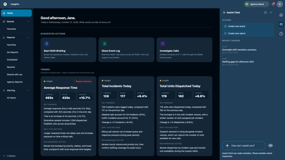
How Motorola Solutions’ New “Insights” Platform Helps Public Safety Agencies Identify Trends to Improve Their Operations
Motorola Solutions has introduced Insights, which leverages Assist, its mission-critical artificial intelligence (AI), to address these challenges and shape what’s next for public safety analytics and reporting technology.
Read More →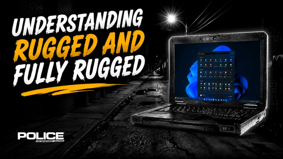
What Qualifies a Laptop as Rugged or Fully Rugged?
Police officers face a wide range of working conditions that can damage or even destroy a regular consumer laptop. Learn what qualifies a computer as rugged or fully rugged and why those devices are vital for law enforcement.
Read More →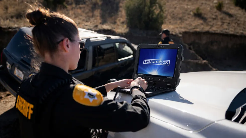
Panasonic Connect Launches the Toughbook 34 and Toughbook G3, Fully Rugged 2-in-1 Mobile Computers
Panasonic Connect has launched the Toughbook 34 and Toughbook G3 to facilitate in-vehicle dispatch, records management, and mobile command operations from any location.
Read More →

A police agency's guide to data-driven fleet management
Costs are rising and the public expects more transparency into how their tax dollars are spent. This e-book shows how police agencies can use fleet data to take control of fleet expenses while improving officer safety and demonstrating fiscal responsibility to the communities they serve.
Read More →
AI and analytics for law enforcement: Turning data into insights
Law enforcement agencies are managing more video, sensor data and digital evidence than ever before. Discover how AI and analytics can help turn that data into actionable insights that strengthen situational awareness, accelerate investigations and support more informed decisions.
Read More →
Vasco Electronics Adds Automatic Language Detection to Vasco Translator Q1
Vasco Electronics’ software update introduces hands-free language switching and expanded offline translation across 45 language pairs, empowering law enforcement, healthcare, and front-office enterprise teams
Read More →
North Miami Police Department Deploys Mark43
The North Miami Police Department has deployed Mark43 as part of its Five-Year Strategic Plan that represents its collective vision and goals for a more proactive police department, anchored by a core commitment to leveraging modern technology to enhance efficiency and public safety.
Read More →
Cellebrite Genesis for Enterprise Now Generally Available
Made available to the public sector in June, Cellebrite Genesis is serving a growing mix of national, regional, and local agencies worldwide, including some of the largest regional and metropolitan police departments. It is now available for enterprise organizations.
Read More →
2026 Vision FirstNet Users Summit to Host Emerging Leaders Training on Grassroots Advocacy for Public Safety
“Emerging Leaders Training: Understanding the Importance of Grassroots Advocacy for Public Safety," a session during the 2026 Vision FirstNet Users Summit, will offer a roadmap for unified advocacy at the federal level.
Read More →
Motorola Solutions Completes Acquisition of D-Fend Solutions
Motorola Solutions has acquired D-Fend Solutions, an industry leader in counter-drone technology. This deal provides public safety and enterprise customers with access to advanced counter-unmanned aerial systems.
Read More →