



FirstNet Planning Satellite Connectivity Trials
Remote areas continue to be a challenge for public safety professionals who need reliable and consistent coverage, FirstNet says. This includes places like national parks, where thousands of search-and-rescue missions are conducted each year.
The Federal Communications Commission (FCC) has granted AST SpaceMobile, in coordination with AT&T, the ability to test direct-to-cellular connectivity on public safety’s Band 14 spectrum via their BlueBird satellites. With this new approval, the company says it believes first responders on FirstNet will be able to trial public-safety-grade satellite communications later this year.
“We are designing satellite connectivity via FirstNet to give first responders the unique capabilities that set the terrestrial FirstNet network apart from commercial networks, FirstNet says. Last year, the company successfully tested mission-critical capabilities such as push-to-talk services, and this authorization will help build on the FirstNet network’s already extensive multi-layered coverage.
“Satellite connectivity on FirstNet is being built with public safety’s unique needs in mind,” said Matt Walsh, AVP of FirstNet and NextGen 9-1-1 Products for AT&T. “First responders need more than the minimum and we are excited to continue building out our comprehensive network to serve the public safety community.”
Remote areas continue to be a challenge for public safety professionals who need reliable and consistent coverage, the company says. This includes places like national parks, where thousands of search-and-rescue missions are conducted each year, according to the National Park Service. Satellite-to-cellular connectivity will be complimentary to and extend the reach of the FirstNet network for first responders in rural or off-grid locations, the company says.
Public safety stakeholders across the country have recognized the importance of satellite connectivity for years, identifying portable solutions like Satellite Cell on Light Trucks (SatCOLTs) as a “must have” solution. It’s why FirstNet is the only network in the country with a dedicated fleet of more than 180 satellite-based deployable network assets, FirstNet says.
“We were also the first to enable agencies to own and deploy their own mobile cell sites – agencies have purchased more than 500 – giving them better command and control of their network. And FirstNet users with capable devices currently have access to satellite features including peer-to-peer messaging and emergency satellite services,” FirstNet says.
To learn more about FirstNet, go to FirstNet.com. Individual first responders can also subscribe to FirstNet at their local AT&T store and save 25% off AT&T lines for their family members on the AT&T commercial network.
More Technology
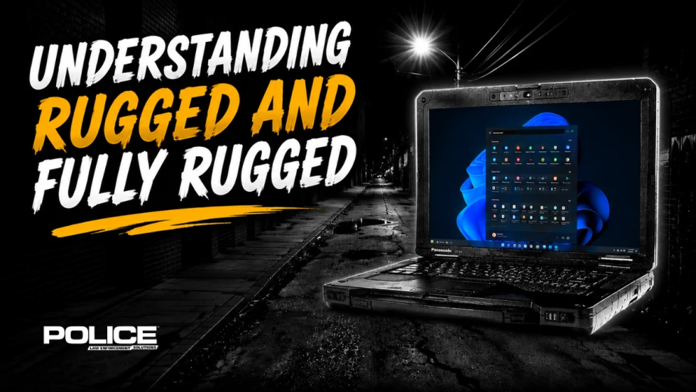
What Qualifies a Laptop as Rugged or Fully Rugged?
Police officers face a wide range of working conditions that can damage or even destroy a regular consumer laptop. Learn what qualifies a computer as rugged or fully rugged and why those devices are vital for law enforcement.
Read More →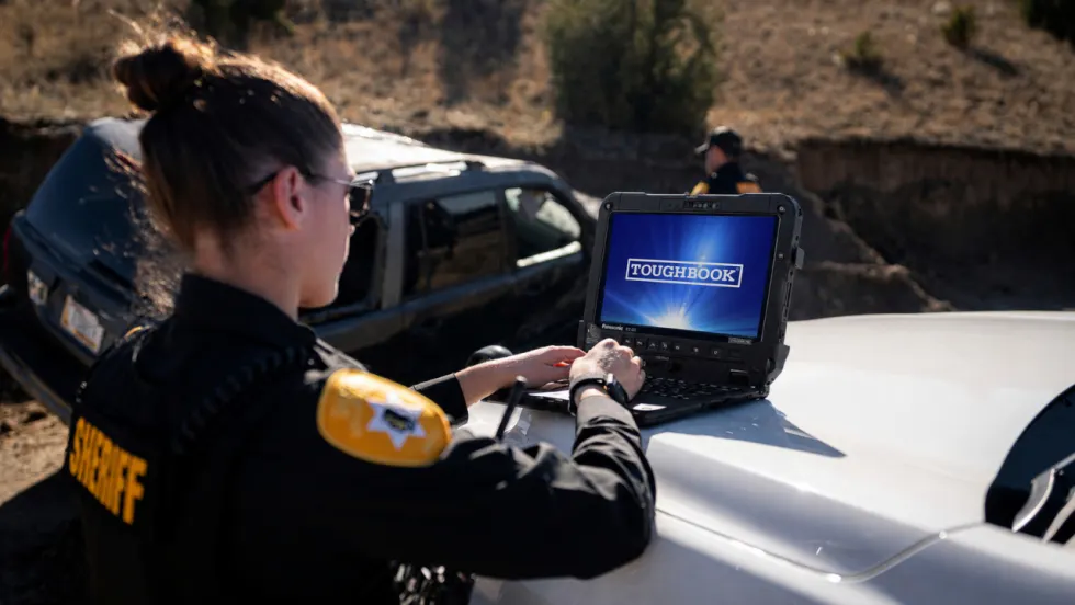
Panasonic Connect Launches the Toughbook 34 and Toughbook G3, Fully Rugged 2-in-1 Mobile Computers
Panasonic Connect has launched the Toughbook 34 and Toughbook G3 to facilitate in-vehicle dispatch, records management, and mobile command operations from any location.
Read More →
A police agency's guide to data-driven fleet management
Costs are rising and the public expects more transparency into how their tax dollars are spent. This e-book shows how police agencies can use fleet data to take control of fleet expenses while improving officer safety and demonstrating fiscal responsibility to the communities they serve.
Read More →

AI and analytics for law enforcement: Turning data into insights
Law enforcement agencies are managing more video, sensor data and digital evidence than ever before. Discover how AI and analytics can help turn that data into actionable insights that strengthen situational awareness, accelerate investigations and support more informed decisions.
Read More →
Vasco Electronics Adds Automatic Language Detection to Vasco Translator Q1
Vasco Electronics’ software update introduces hands-free language switching and expanded offline translation across 45 language pairs, empowering law enforcement, healthcare, and front-office enterprise teams
Read More →
North Miami Police Department Deploys Mark43
The North Miami Police Department has deployed Mark43 as part of its Five-Year Strategic Plan that represents its collective vision and goals for a more proactive police department, anchored by a core commitment to leveraging modern technology to enhance efficiency and public safety.
Read More →
Cellebrite Genesis for Enterprise Now Generally Available
Made available to the public sector in June, Cellebrite Genesis is serving a growing mix of national, regional, and local agencies worldwide, including some of the largest regional and metropolitan police departments. It is now available for enterprise organizations.
Read More →
2026 Vision FirstNet Users Summit to Host Emerging Leaders Training on Grassroots Advocacy for Public Safety
“Emerging Leaders Training: Understanding the Importance of Grassroots Advocacy for Public Safety," a session during the 2026 Vision FirstNet Users Summit, will offer a roadmap for unified advocacy at the federal level.
Read More →
Motorola Solutions Completes Acquisition of D-Fend Solutions
Motorola Solutions has acquired D-Fend Solutions, an industry leader in counter-drone technology. This deal provides public safety and enterprise customers with access to advanced counter-unmanned aerial systems.
Read More →
ZeroEyes, Advantech & Camden Police Partner to Bring AI Gun Detection Technology to Delaware School District
ZeroEyes has partnered with Advantech and the Camden Police Department to deploy ZeroEyes’ AI gun detection and intelligent situational awareness platform at Delaware’s Caesar Rodney School District (CRSD).
Read More →