



Super Bowl 50 Host Assisted by GPS Logic Mobile Data Systems
As preparations for hosting Super Bowl 50 got underway, Santa Clara County, CA, turned to GPS Logic Mobile Data Systems to assure a network of emergency vehicles with automated vehicle location, data capture and exchange technologies.

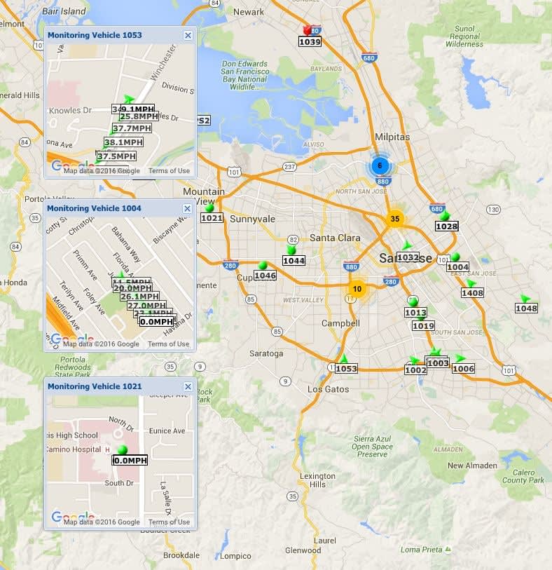
As preparations for hosting Super Bowl 50 got underway, Santa Clara County, CA, needed to be assured it could rapidly deploy Emergency Medical Services (EMS) vehicles in case of any emergency. That's why officials turned to Laguna Hills, CA-based technology company, GPS Logic Mobile Data Systems, to assure a network of emergency vehicles with automated vehicle location, data capture and exchange technologies.
Providing a way to quickly and securely exchange emergency medical information during the largest sporting event in the nation required the ability to instantly identify, transmit key data and deploy the closest appropriately equipped EMS vehicles to the scene of an emergency.
Working closely with the County's Common Regional Operating Picture (CROP) technology group and participating EMS agencies, GPS Logic's technical team quickly developed software interface capabilities specifically for Santa Clara County. The software allowed Santa Clara to instantly access key data of emergency medical vehicles through GPS Logic's proprietary cloud service in real time. With GPS Logic's advanced telematics national service, the data exchange and collection capabilities extended far beyond the county borders.
After the September 11 attacks, there has been a nationwide effort to link data, exchange information, and share communication platforms among law enforcement, emergency medical, and other first responder agencies. The GPS Logic technology supported the Super Bowl 50 technical initiative as the result of its ongoing telematics, M2M, and Internet of Things development since 2008. This advance technology provides essential, uninterrupted Automated Vehicle Location and data exchange among thousands of mobile Public Safety units and connected agencies -- a critical necessity during normal emergency services and a catastrophic event.
"We are pleased to offer this capability and support to our customers, while helping Santa Clara County in its Super Bowl and CROP initiative," said Ronald Cedillos, CEO of GPS Logic Mobile Data Systems. "The future of emergency medical services and Public Safety will rely on accurate, real time shared data. Our systems are uniquely positioned to be the key component of that data exchange."

About GPS Logic Mobile Data Systems
GPS Logic is a leading national provider of cloud-based mobile data communication technologies, M2M, and fleet location management systems. GPS Logic's systems are deployed in the largest Emergency Medical Services, law enforcement, fire departments, and other public safety agencies in the nation in addition to private entities. GPS Logic is headquartered in Orange County, CA, with a development office on the East Coast.
More Technology
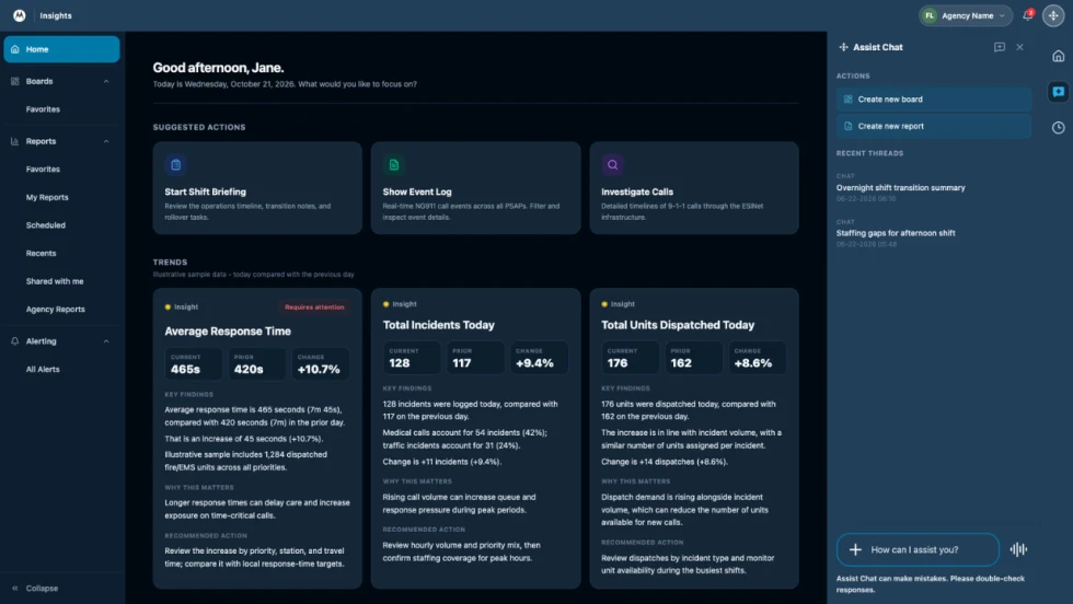
How Motorola Solutions’ New “Insights” Platform Helps Public Safety Agencies Identify Trends to Improve Their Operations
Motorola Solutions has introduced Insights, which leverages Assist, its mission-critical artificial intelligence (AI), to address these challenges and shape what’s next for public safety analytics and reporting technology.
Read More →
What Qualifies a Laptop as Rugged or Fully Rugged?
Police officers face a wide range of working conditions that can damage or even destroy a regular consumer laptop. Learn what qualifies a computer as rugged or fully rugged and why those devices are vital for law enforcement.
Read More →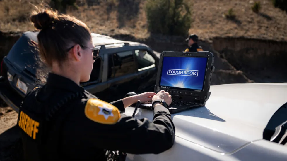
Panasonic Connect Launches the Toughbook 34 and Toughbook G3, Fully Rugged 2-in-1 Mobile Computers
Panasonic Connect has launched the Toughbook 34 and Toughbook G3 to facilitate in-vehicle dispatch, records management, and mobile command operations from any location.
Read More →

A police agency's guide to data-driven fleet management
Costs are rising and the public expects more transparency into how their tax dollars are spent. This e-book shows how police agencies can use fleet data to take control of fleet expenses while improving officer safety and demonstrating fiscal responsibility to the communities they serve.
Read More →
AI and analytics for law enforcement: Turning data into insights
Law enforcement agencies are managing more video, sensor data and digital evidence than ever before. Discover how AI and analytics can help turn that data into actionable insights that strengthen situational awareness, accelerate investigations and support more informed decisions.
Read More →
Vasco Electronics Adds Automatic Language Detection to Vasco Translator Q1
Vasco Electronics’ software update introduces hands-free language switching and expanded offline translation across 45 language pairs, empowering law enforcement, healthcare, and front-office enterprise teams
Read More →
North Miami Police Department Deploys Mark43
The North Miami Police Department has deployed Mark43 as part of its Five-Year Strategic Plan that represents its collective vision and goals for a more proactive police department, anchored by a core commitment to leveraging modern technology to enhance efficiency and public safety.
Read More →
Cellebrite Genesis for Enterprise Now Generally Available
Made available to the public sector in June, Cellebrite Genesis is serving a growing mix of national, regional, and local agencies worldwide, including some of the largest regional and metropolitan police departments. It is now available for enterprise organizations.
Read More →
2026 Vision FirstNet Users Summit to Host Emerging Leaders Training on Grassroots Advocacy for Public Safety
“Emerging Leaders Training: Understanding the Importance of Grassroots Advocacy for Public Safety," a session during the 2026 Vision FirstNet Users Summit, will offer a roadmap for unified advocacy at the federal level.
Read More →
Motorola Solutions Completes Acquisition of D-Fend Solutions
Motorola Solutions has acquired D-Fend Solutions, an industry leader in counter-drone technology. This deal provides public safety and enterprise customers with access to advanced counter-unmanned aerial systems.
Read More →