

Dallas GIS Police Analyst Uses Geospatial Skills to Fight Crime
Geographic information systems (GIS) has changed the way law enforcement fights crime. American Sentinel University's GIS program is designed to teach officers the tools they need to map and analyze crime patterns.
Geographic information systems (GIS) has changed the way law enforcement fights crime. Investigators now rely on actionable intelligence for mapping and analyzing crime patterns, and as the use of this new technology continues to evolve, police agencies will depend on crime GIS analysts to take advantage of the cutting-edge tools and industry innovations that GIS offers. American Sentinel University's GIS program is designed to teach officers the tools they need.
Senior Cpl. DJ Beaty of the Dallas Police Department knew that none of his department's officers had GIS degrees or training and decided he wanted to be the first.
During his time as a neighborhood police officer, Senior Cpl. Beaty got involved with various neighborhoods' crime watch programs and many of the citizens he interacted with wanted to see crime statistics on a map so they could get an idea of patterns and trends of criminal activity in their geographic areas.
"My department would supply me that information, but it became clear very quickly that we needed the ability to map that data and present maps and other information to our community members," says Senior Cpl. Beaty, police GIS and geospatial analyst for the Dallas Police Department. "My skills as a neighborhood police officer and my time in covert operations translated well to the field of GIS."
Senior Cpl. Beaty took on crime data analysis duties in addition to his regular job responsibilities. The more he did the work, the more he enjoyed it. So when a GIS police analyst position became available within the department in 2012, he jumped at the opportunity.
He knew it was time to pursue further education and in early 2013 began looking for a program that would give him the technical and geospatial education to supplement his on-the-job experience.
"I decided to look online because there were no programs in my area and when I found American Sentinel University, I said, 'Well that's the one.'"
American Sentinel's GIS program is a perfect fit for the skills that police officers currently have to supplement their work experience, according to the university.
"Experienced police officers have a very advanced level of knowledge about their communities and that information is inherently spatial in nature through the links between the various neighborhoods, public spaces, people and activities that are occurring throughout the year," says Stephen McElroy, GIS program chair at American Sentinel University.
He says that a police officer's expertise functions like mental GIS where the officer observes changing patterns in the community on a weekly and monthly basis. GIS skills enable a police officer to understand the complexity of existing crime data that translates into establishing and recognizing meaningful patterns on various scales.
"Although pushpin crime maps are fairly simple, they provide a basic mechanism for the visualization of crimes in a region," says Dr. McElroy. "The mapping and reporting of crime statistics is increasingly becoming the norm at the local level and the use of GIS maps depict and reinforce that knowledge. The examination of comparisons between different crime data sets allows the police to understand and mitigate crime risks to build safer communities."
Since beginning the B.S. Geographic Information Systems program in June 2013, Senior Cpl. Beaty has already learned so much. He is now his department's new crime GIS analyst and is responsible for compiling geospatial data that comes into the Dallas Police Department, processing it with ESRI software and creating maps that help the police department track and interpret criminal activity throughout the city.
"Applying GIS to law enforcement has helped me innovate ways to apply spatial analysis for making decisions," he says. "I found the courses challenging, yet rewarding because it supplemented my ability to capture, store, manipulate, analyze, manage and present all types of geographically referenced data to estimate crime and predict future hot spots."
Senior Cpl. Beaty says that his department is one of the most advanced in the country that actually uses GIS efficiently and effectively.
"American Sentinel's program really fit my needs as a practitioner," he says. He's having so much fun, he adds that when he graduates in 2015 he plans to pursue American Sentinel's Master of Geospatial Information Systems as well.
"I want to be the best I can be for the department and these degrees will help me become that go-to police GIS expert. But also, I'm doing this for me, and that feels pretty good."
Learn more about American Sentinel University's online GIS programs at https://post.edu/information-technology/b-s-geographic-information-systems/.
About American Sentinel University
American Sentinel University delivers the competitive advantages of accredited associate, bachelor's and master's online degree programs focused on the needs of high-growth sectors, including information technology, computer science, GIS masters programs, online GIS certificates, computer information systems and business intelligence degrees. The university is accredited by the Distance Education and Training Council (DETC), which is listed by the U.S. Department of Education as a nationally recognized accrediting agency and is a recognized member of the Council for Higher Education Accreditation.
More Technology
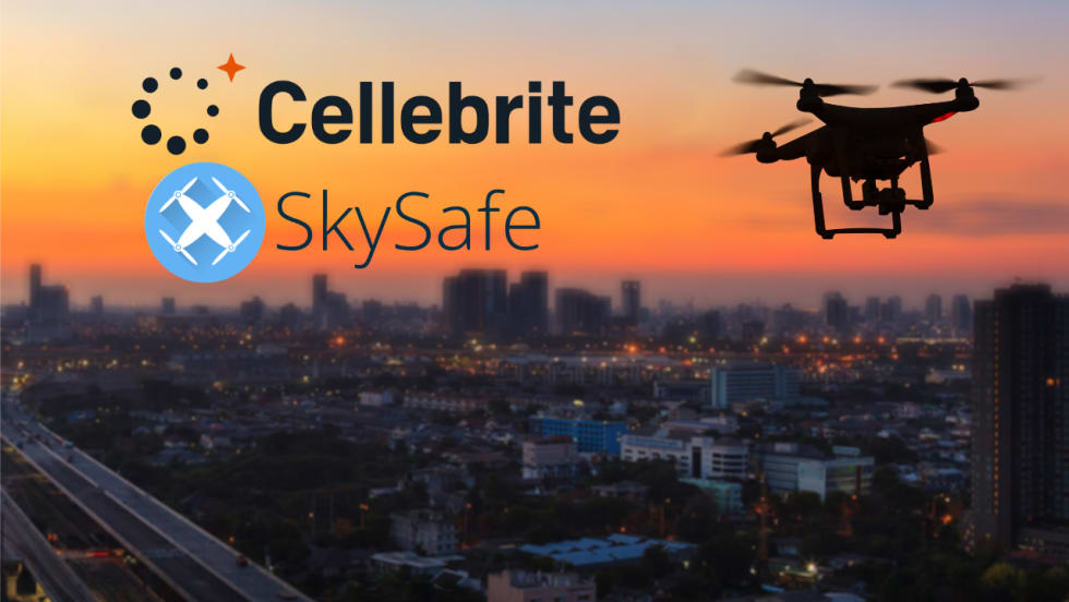
Cellebrite Expands Exclusive SkySafe Partnership to Deliver Immediate Drone Detection and Airspace Intelligence for Digital Investigations at Scale
By integrating SkySafe's drone detection and airspace intelligence with Cellebrite's platform, agencies can connect real-time and historical UAV flight data with mobile forensic evidence, all in one place.
Read More →
New DroneShield Report Reveals Serious Gaps in Airport, Critical Infrastructure Counter-Drone Security
Survey results, as part of “Airspace Under Pressure: A Global Assessment of Counter-UAS Readiness Across Airports and Critical Infrastructure,” indicate that 60% of organizations say they lack legal authority to act against unauthorized drones.
Read More →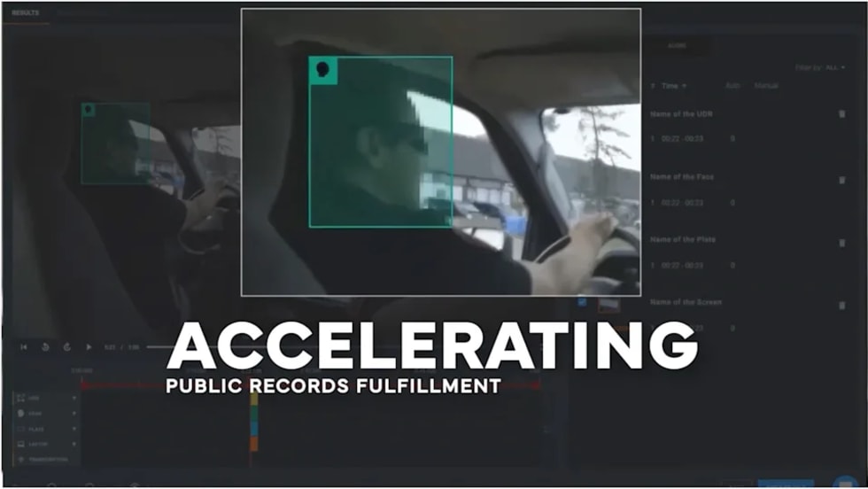
CHP to Accelerate Evidence Redaction & Public Records Fulfillment Through Veritone Redact
With Veritone Redact, the California Highway Patrol can redact video, audio, and image-based evidence, reducing time spent on evidence preparation and public record requests.
Read More →

Echodyne Expands Public Safety Radar Applications Through Partnership with Axon
Echodyne has partnered with Axon to support safer and more scalable drone operations across law enforcement, homeland security, and Drone as First Responder programs globally.
Read More →
Miami Police Department Deploys Airwayz’s Overwatch Platform During FIFA World Cup Events
The deployment of Airwayz’s Overwatch airspace management platform during the FIFA World Cup demonstrates the future of airspace infrastructure for managing, securing, and coordinating complex urban airspace environments.
Read More →
How Patrolfinder Uses Data to Make Streets Safer
Law enforcement agencies have long relied on instinct and routine to optimize patrols. Patrolfinder uses data to help agencies see where officers go — and where they don’t — to improve visibility and maximize coverage.
Read More →
Crime Prevention by Merging Tech with Human Intervention
Elite Interactive Solutions tackles crime prevention with technology and human intervention, working closely with local police to provide insights when a response is needed. The key is to blend the latest in remote video monitoring, artificial intelligence, and a well-trained agent with eyes on the scene.
Read More →
Case Study Details Integration of Body-Worn Cameras with CAD
The Billerica Police Department (Massachusetts) improved transparency and accountability, sharpened evidence management, and reduced manual hours by integrating Axis Communications body-worn cameras with its Computer-Aided Dispatch (CAD) system.
Read More →
ZeroEyes Public Safety Alerts Integrates Samdesk for Real-Time Risk Detection and Awareness
ZeroEyes has integrated Samdesk into its Public Safety Alerts platform to deliver faster, verified intelligence to help organizations understand emerging risks and respond quickly.
Read More →
NJ Police Department Combines Strong Technology & Public Safety Strategy
The Fort Lee Police Department in New Jersey has modernized with Genetec Security Center, including video management, automatic license plate recognition (ALPR), and Clearance digital evidence management.
Read More →