
Police Magazine

 MENU
 SEARCHMENUSEARCH
Loading data...
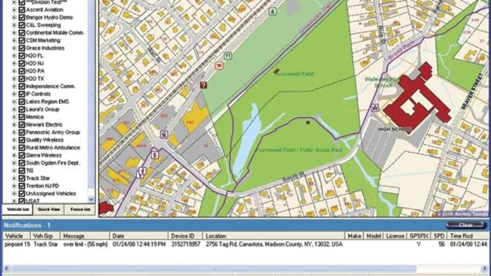
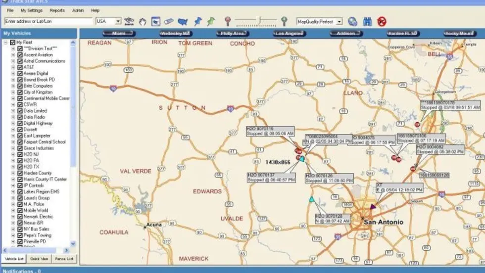
Track Star’s AVLS system is an affordable yet powerful and fully featured GPS-based vehicle tracking system ideally suited to the needs of Law Enforcement agencies, large and small. System features include real time position display and replays, vehicle status indications, reports to aid in all aspects of fleet supervision, and an easy-to-use operator interface.
Read More →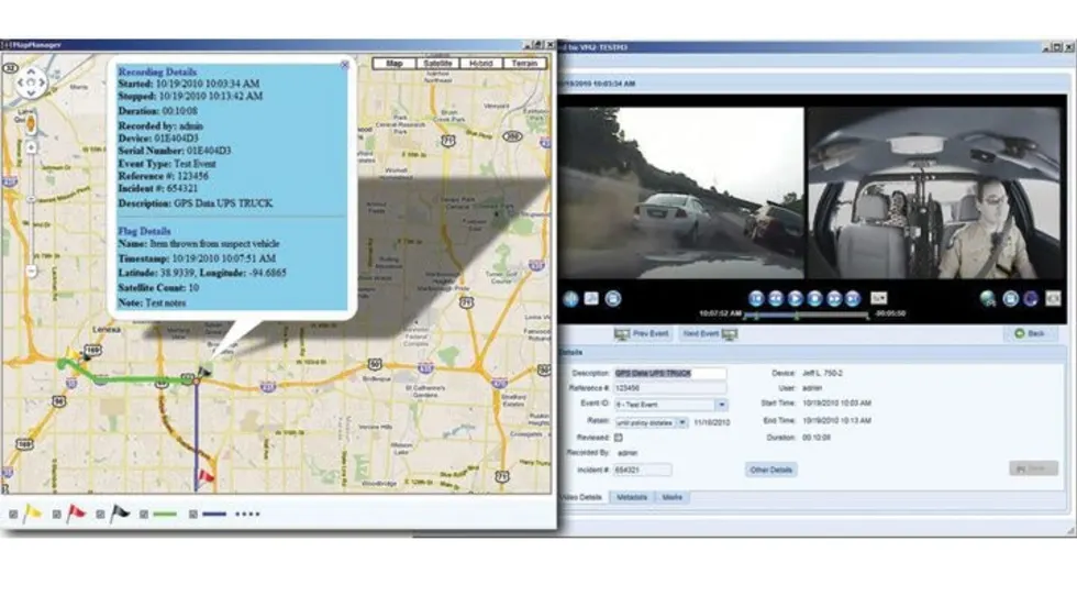



Digital Ally has added a mapping feature to its VideoManager software to easily track the location of video taken with its GPS-enabled units. This will allow users to utilize an in-program overhead map to view routes traversed in videos along with the location of "marked" events.
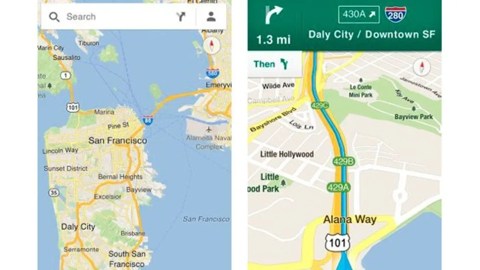
Read More →For officers who aren't issued patrol vehicles equipped with GPS for positioning and call routing, Google Maps offers a very useful alternative. GPS will always be the best choice, but it's more costly, making Google Maps a tool that's within easy reach.
Read More →Some agencies and unions have agreed that GPS results will not be used against officers unless a complaint has been made, but other agencies have purchased computer software that will monitor an officer's speed and print out a report. Alerts can also send out if the vehicle's speed exceeds a predetermined maximum.
Read More →The StarChase GPS vehicle tagging and tracking system is so new it’s still in the development stages, but it could soon help to reduce the number of high-speed pursuits.
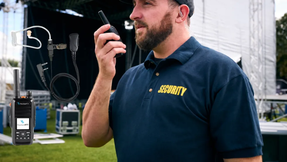
Read More →Pryme Radio Accessories and hardware/software maker PositionPTT join forces to advance hands-free communications and ensure Department of Transportation compliance using an integrated system of push-to-talk platforms, devices, and audio equipment.
Read More →The federal government is building a nationwide framework for autism-related missing-person alerts. For law enforcement, the bigger opportunity may be what happens before the public ever sees one.
Read More →CrimeTrax from Pro Tech Monitoring electronically links the movement of GPS-tracked offenders with reported crime incidents and notifies police and corrections officials when an offender is detected at or near a crime scene. The system offers two options: centrally warehousing crime data for comparison with GPS tracking data or integrating offender track data into existing local crime analysis systems.
Read More →As preparations for hosting Super Bowl 50 got underway, Santa Clara County, CA, turned to GPS Logic Mobile Data Systems to assure a network of emergency vehicles with automated vehicle location, data capture and exchange technologies.
Read More →The GLOBETrekker is a rugged, intelligent, portable satellite system that enables users to establish a reliable broadband connection on short notice anywhere in the world, even in harsh and hostile conditions. It is sleekly designed to be carried in a backpack, is airline checkable, fits in small vehicles, and is even helicopter- and parachute- friendly.
Read More →