
Police Magazine

 MENU
MENU SEARCHMENUSEARCH
Loading data...

Pfc. Naser Abdo, an AWOL infantryman accused of plotting to kill GIs and their families in revenge for America's wars in Iraq and Afghanistan, was found guilty Thursday.
Read More →

The recession has made most law enforcement agencies cut back on their purchases of technology. That means that all of law enforcement is having to learn what small agencies have known for some time. You can do a lot for less, if you put your mind to it.
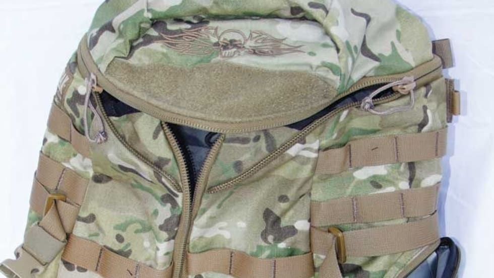
Read More →Scott Smith reviews gear from CamelBak, Insight Tech-Gear, Woolrich, and the Mako Group.
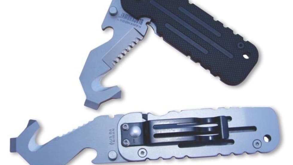
Read More →With all of the gear we carry on our duty belts, what we don't need is yet another bulky tool to add more weight and take up more space. The Hawkhook is one piece of gear that is small but mighty.
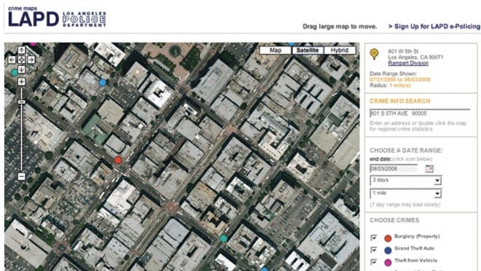
Read More →Crime Maps allows users to view updated crime activity anywhere in a police department’s jurisdiction with the new addition of satellite imagery. It is a part of a suite of applications created by ePolicing, a partnership of Los Angeles firms Lightray Productions and Psomas.
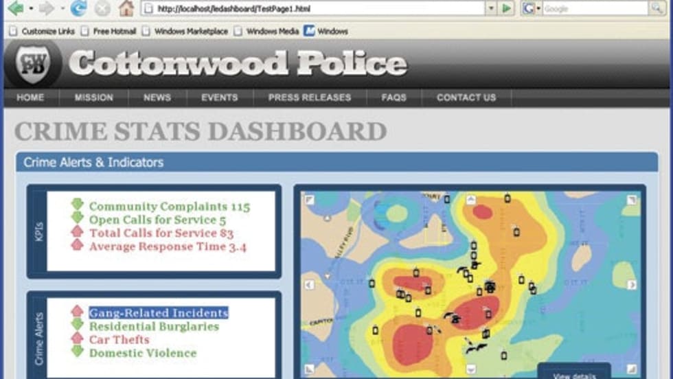
Read More →GIS-based data application SpatialKey not only quickly gathers information on suspected criminal incidents and provides them immediately to responding officers, it also tracks patrol locations and monitors their travel routes and speeds, which can be altered to help save fuel and better serve the community.
Read More →Whether you need to perform spatial analysis, manage large amounts of spatial data, or produce cartographically appealing maps to aid in decision making, ArcGIS allows you to use one common platform to meet all your GIS needs. And because ArcGIS is built using technology standards, it will integrate well with your existing systems.
Read More →SmartDraw.com has just released SmartDraw Legal Edition 2009, containing enhanced functionality and exclusive new features that help law enforcement professionals create high-impact legal graphics such as timelines, crime scene diagrams, trial graphics, accident reconstruction, evidence and flowcharts, and more in a matter of minutes.
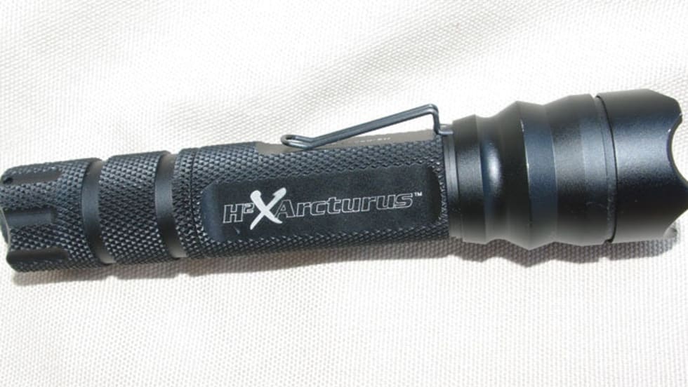
Read More →The Arcturus carries on the legacy that Insight Tech-Gear has built over the last few years. I like the light and carry it daily; I can't give it a higher endorsement than that.
Read More →MultiVision USA utilizes an advanced aerial imaging system to acquire high-resolution oblique imagery to provide multi-perspective and 3D viewing and modeling capabilities. MultiVision software provides onscreen tools to measure vertical and horizontal structures, such as building facades, backyard patios, and terrain features, from any angle or direction in the imagery.
Read More →