
Police Magazine

 MENU
 SEARCHMENUSEARCH
Loading data...

A new personal safety iPhone app called iHelp Plus offers features including customizable alarms, built-inflashlight, and GPS tracking to identify a user's exact location.
Read More →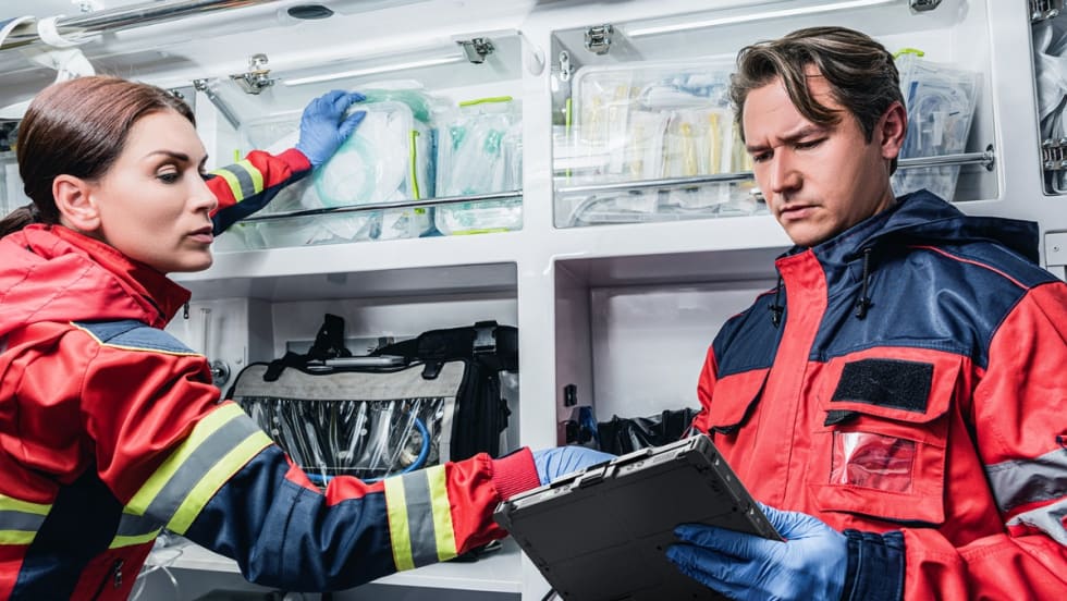


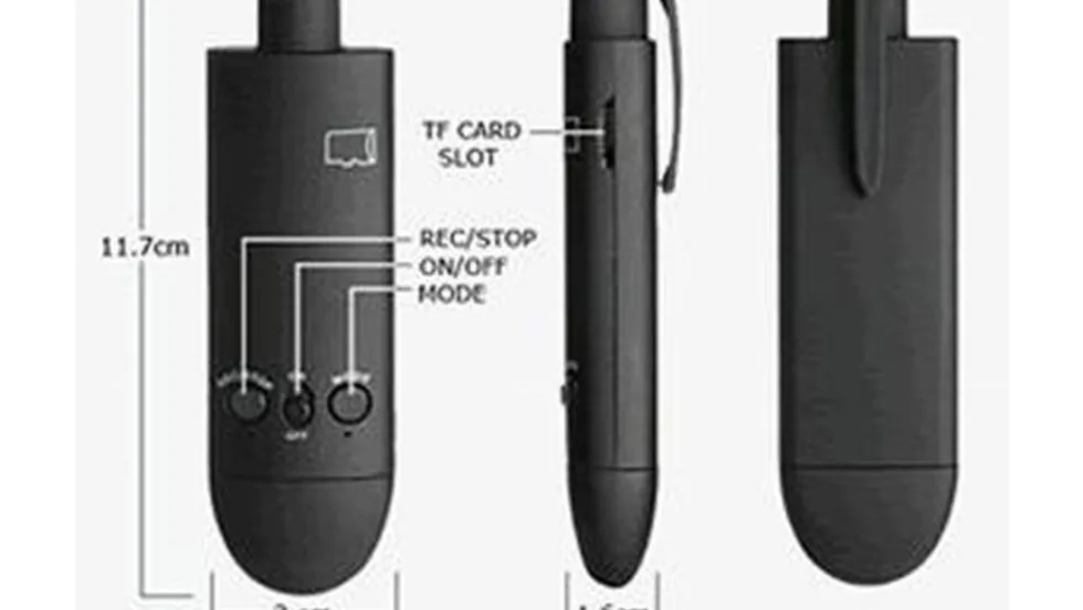
The new devices feature larger displays, AI-ready processors, and enhanced durability for police and first responders working in demanding environments.
Read More →Using the AT&T network for nationwide two-way radio communications, the service also includes GPS Google Mapping.
Read More →There are many mobile applications designed specifically for law enforcement officers, and even more that were intended for a more general audience, but that cops will find useful. Those listed below include some from both the police and non-police market sectors.
Read More →Offering 3,000 up-to-date NOAA coastline and river charts from the Army Corps of Engineers, this DVD and GPS Real-Time Navigation Software from Maptech allows you to create GPS routes with the click of a mouse. Chart segments and route plans can be printed on standard printers. Connect a GPS to an onboard computer to see vessel location on the detailed charts for real-time tracking and positioning.
Read More →To supplement the story, "Can You Hear Me Now?" in the March issue of Police, this is an additional resource of companies that sell tactical communications equipment.
Read More →Once upon a time you had to use your radio to run subjects for wants and warrants. Now, you can run as many subjects as you want. As if that wasn't enough, license plate recognition systems can alert you for warrants.
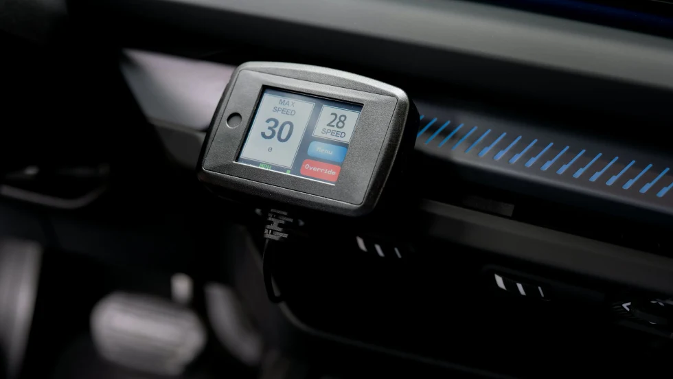
Read More →LifeSafer’s Intelligent Speed Assistance system can shut down a stolen police vehicle so that it can be recovered without a high-speed pursuit.
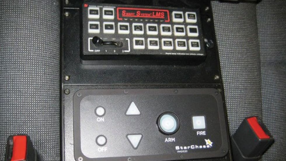
Read More →If your patrol car is outfitted with the StarChase device, you can push a button and launch a small, sticky GPS transmitter onto a car bumper to wirelessly track the vehicle without a lengthy and dangerous high-speed pursuit.
Read More →