

Side-Scan Sonar Identifies N.Y. Crash Evidence
Side-scan sonar is known as a "towfish" — it's a torpedo-like device towed behind a boat. The towfish converts acoustic sound pulses into a video image of the river bottom. To a trained operator, the resulting image offers a photographic view of the bottom that can be used to identify items of interest.

The New Jersey State Police dive team recorded and reviewed hours of side-scan sonar data to provide divers with a potential location of the fuselage (middle right) on the river bottom. Photo via FBI.
A multi-agency task force used side-scan sonor to recover critical debris from the fatal mid-air collision of a small plane and a helicopter over the Hudson River earlier this month.
The area of the Hudson where the plane's fuselage entered the water on Aug. 8 represented the most dangerous elements that an evidence recovery diver could face — deep water, shifting currents, zero visibility, and entanglement hazards.
Earlier in the year, they had recovered a lost engine from US Airways' Flight 1549 after its emergency landing in the river after striking a flock of geese.
Side-scan sonar is known as a "towfish" — it's a torpedo-like device towed behind a boat. The towfish converts acoustic sound pulses into a video image of the river bottom. To a trained operator, the resulting image offers a photographic view of the bottom that can be used to identify items interest, according to an FBI release.
Side-scan systems can cover large swaths of water in fairly short periods, typically a square mile per day. They can also provide clarity in zero-visibility conditions when the murkiness of the water makes it impossible for divers to see with their eyes.
Watch a clip of the sonor video, released by the FBI.
The state police team reviewed many hours of side-scan data they gathered after the crash and provided FBI divers with a general location of what looked like the fuselage of a small plane. On Aug. 9, the agency deployed a sector-scan system to verify the target and to identify its location.
Sector-scan sonar also uses sound pulses to create a visual image. The difference between the two systems is that sector-scan sonar is housed in a six-foot-high tripod that is lowered to the river bottom. Once it is stationary, a transducer rotates in a 360-degree path to paint a real-time picture of the immediate surroundings. Since the location of the tripod is known, precise GPS points can be plotted from the surface.
This sonar can also show the position of a diver, who can then be directed to a specific target through underwater communications systems. In this case, the FBI sonar operator located the same object that was scanned by the state police sonar operator and was able to direct a diver — despite a strong current and zero visibility — to the wreckage.
Once the plane was identified, the team turned its efforts to marking the wreckage for recovery. To accomplish this without risking a diver in high current, the sector scan was utilized again. After a dozen or more attempts, we deployed the tripod successfully, and state police divers were able to drag a large weight alongside the plane. They were then able to provide a direct line from the plane to the surface. An Army Corps of Engineers' crane was used to lift the wreckage from the water.
In the end, the multi-agency effort that included the New Jersey State Police and New York Police Department, led to the safe and successful recovery of the wreckage and of the remains of the victims of this tragedy.
More Blog Posts
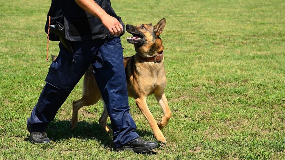
Preventing Heat Injury in Police K-9s
In the relentless heat of summer and even early fall in some parts of the country, officers face the important task of protecting their K-9 partners while working in sweltering temperatures. Recognizing changes in a dog’s behavior is the key.
Read More →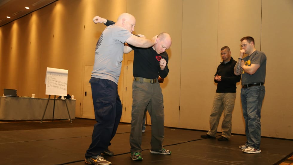
Why Your Agency Needs to Attend the ILEETA Conference
ILEETA is a complete resource for trainers to address trainers' needs. Its mission is to enhance the skills and safety of criminal justice practitioners while fostering stronger and safer communities.
Read More →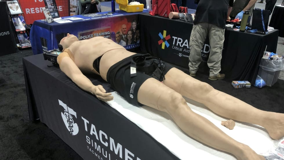
IACP 2023: New Training Products
Technologies for improving law enforcement training and training management were some of the highlights at this year's show.
Read More →
Initial Results Released from MSP 2024 Police Vehicle Testing
The 2024 pursuit-rated vehicles--all pickup trucks or SUVs, including two battery electric models the Chevrolet Blazer EV AWD and Ford Mustang Mach-E--were put through their paces.
Read More →
Officer Safety Considerations Related to Alternative-Fuel Vehicles
As more alternative-fuel and hybrid vehicles hit the road, police and other first responders need to understand that they are no more dangerous than conventional vehicles. However, there are certain safety considerations every cop should know.
Read More →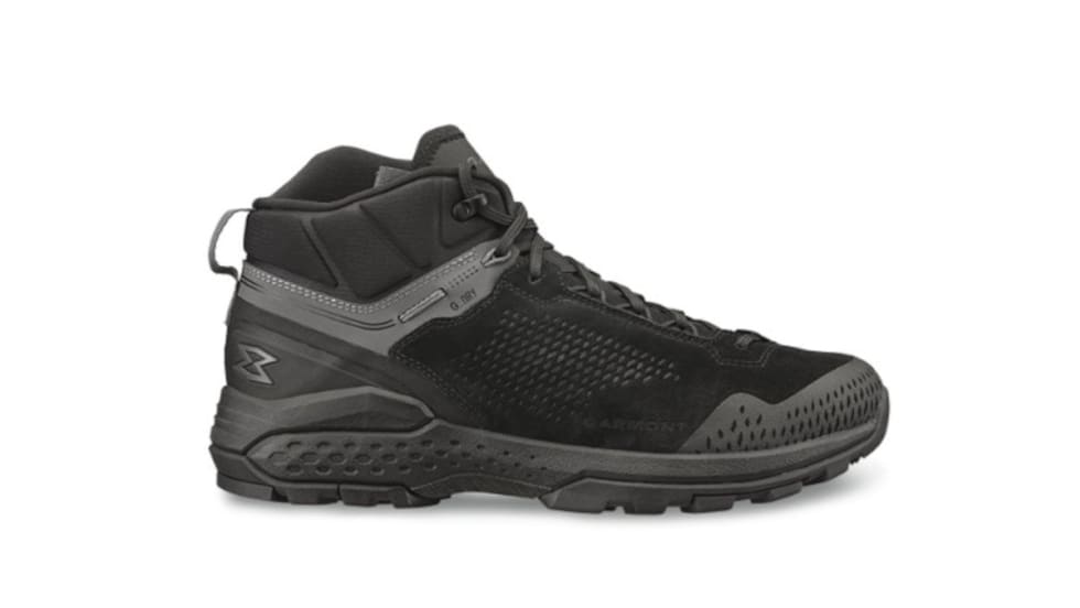
Garmont Working to Grow LE Market Presence
Garmont Tactical has found wide acceptance by military boot buyers, but now the company is trying to better respond to the needs of police officers. Many cops now are not fans of 8-inch boots, so Garmont is adapting.
Read More →
Publisher’s Note: Our Commitment to You
Through our magazine and website and our Police Technology eXchange event, we promise to provide you with information and access to resources to help you do your job safer and better.
Read More →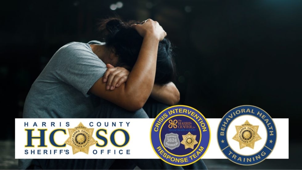
10 Tips for Responding to Mental Health Crisis Calls
The Harris County Sheriff's Office is a model for other agencies that want to learn about crisis intervention and mental health crisis response. Sgt. Jose Gomez shares the story of their programs and provides 10 tips for mental health crisis call response
Read More →
5 Things to Know When Buying Concealed-Carry or Off-Duty Holsters
Mike Barham, of Galco Holsters, shares five important considerations to keep in mind when you buy off-duty concealed or plain-clothes carry holsters.
Read More →
10 Tips for Reviewing Use-of-Force Reports
While the burden of accurately reporting use-of-force situations is on an individual deputy or officer, the person reviewing those reports shares in the responsibility of making sure the reporting is done properly, with clear details included.
Read More →