
Police Magazine

 MENU
MENU SEARCHMENUSEARCH
Loading data...

Offering 3,000 up-to-date NOAA coastline and river charts from the Army Corps of Engineers, this DVD and GPS Real-Time Navigation Software from Maptech allows you to create GPS routes with the click of a mouse. Chart segments and route plans can be printed on standard printers. Connect a GPS to an onboard computer to see vessel location on the detailed charts for real-time tracking and positioning.
Read More →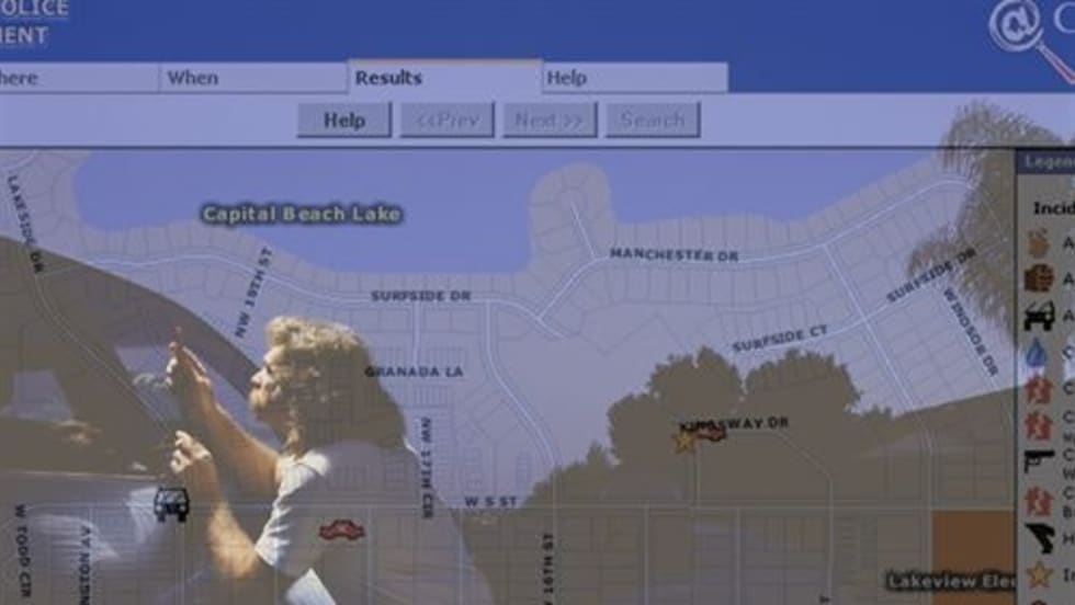
C-Map Systems’ WriteGPS II is an intelligent GPS video overlay and typewriter. It’s a self-contained 9- to 24-volt, palm-sized unit that overlays video with GPS time, date, position coordinates, altitude, depth, and heading. It can convert Lat/Long GPS coordinates to all NAD27 and NAD83 zones.
Read More →Based on the Accurint platform, Accurint LE Plus from LexisNexis is a powerful desktop application that includes all the analyst’s mission-critical tools from the Web-based Accurint LE product. The new application allows agencies to search databases and link information from various sources to create a comprehensive analysis of a case. Features include visual link analysis, real-time batching, and GIS mapping.
Read More →Designed for law enforcement, border security, and homeland defense missions, the Cineflex V14 Magnum LE is a gyro-stabilized aerial camera system that features a high-definition, dual-sensor, infrared camera. With 1920 x 1080 lines of resolution, the camera provides aerial crews with a high level of detail in both daytime and nighttime settings.
Read More →Renowned for its detailed maps, Rand McNally has developed an online customizable mapmaking tool that allows agencies to create large-scale, labeled images of any area within the contiguous United States. Possible applications for the Custom View wall maps system include tactical planning for emergency evacuations or SWAT operations and delineation of gang territories. Available in three sizes, the sturdy, laminated wall maps are made to withstand multiple uses.
Read More →Computers have revolutionized the art of crime mapping. Once just an exercise of sticking pins into a map glued to a bulletin board, crime mapping is now built on a foundation of “geographic information systems,” or GIS, a fancy term for creating, updating, and analyzing computerized maps.
Read More →