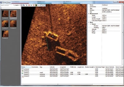
SAMM is Oceanic Imaging Consultants' Stand Alone Mosaicking Module, ideal for underwater search and survey. SAMM-PACK bundles SAMM with a forward-look sonar, steerable pole-mount, GPS system, and computer to give marine units an underwater search system that maps the searched area; shows areas covered on a map, chart, or air-photo background; and allows target marking and image export. You see where you have searched as you go, and know what you have to cover next. GeoTIFF and Google-Earth exports allow for easy quantifiable reporting.