News
Tenhold Introduces Suppressor Gun Rack System
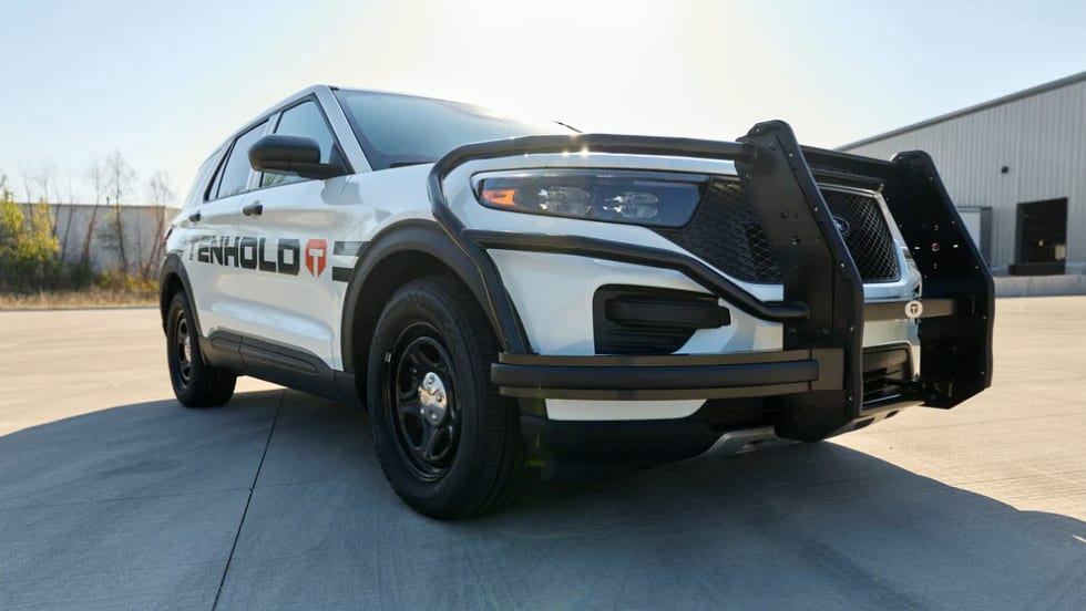
Tenhold, formerly Jotto Desk, provides next-generation vehicle systems for law enforcement and public safety and recently debuted its Suppressor Lock Head for its Weapon Mounting system.
Read More →

Tenhold, formerly Jotto Desk, provides next-generation vehicle systems for law enforcement and public safety and recently debuted its Suppressor Lock Head for its Weapon Mounting system.
Read More →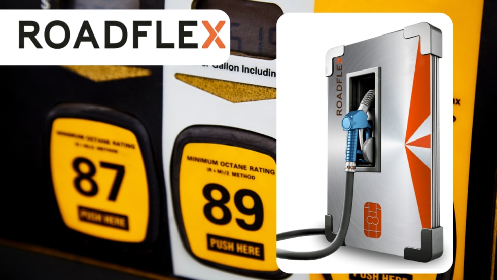
The Madison County Sheriff’s Office overcame fuel management and accounting challenges by turning to RoadFlex to improve fueling reliability, visibility, and administrative control.
Read More →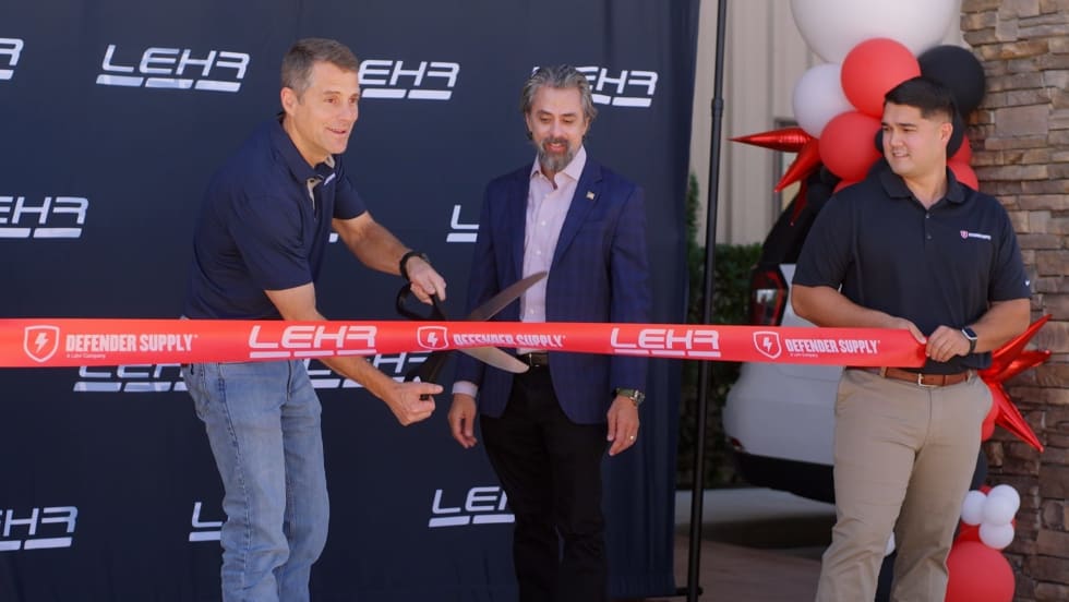
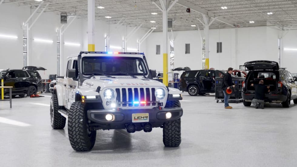
LEHR has opened a 40,000-square-foot Defender Supply upfitting facility in Houston, Texas. It is expected to upfit thousands of public safety vehicles each year.
Read More →
Hear veteran trainer Mike Willis, of the United States Deputy Sheriff’s Association, explain several considerations that can help you wisely pick your best spot to initiate high-risk or felony traffic stops.
Read More →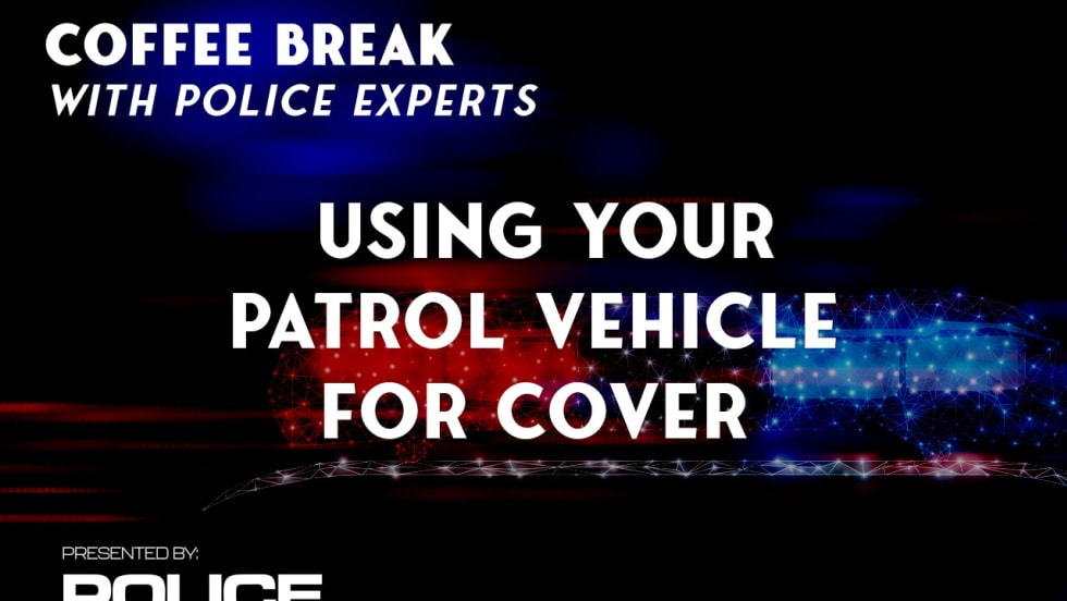
In this video, hear from Dustin Mowery, a product specialist at Team Wendy, as he discusses how to best use a patrol vehicle for cover.
Read More →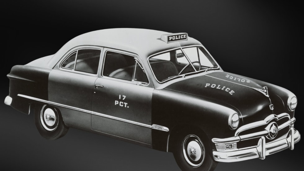
From 1950 to 2025, Ford has produced many of America’s most iconic law enforcement cars, SUVs, and trucks. POLICE Magazine takes you through the history of Ford’s police vehicles.
Read More →
While a patrol vehicle offers some cover protection when taking fire, remain mobile and don’t stick to one piece of cover indefinitely. Dustin Mowery, of Team Wendy, shares what he teaches about using vehicles as cover.
Read More →
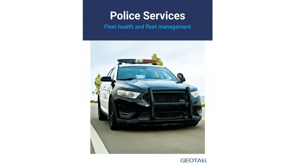
The webinar is presented by Robert Martinez, former deputy commissioner of the NYPD/RSM Fleet Consulting LLC; Nathalie (Nat) Crewes, business segment manager for Geotab; and Alanna Bindi, fleet manager for the City of Stockton.
Read More →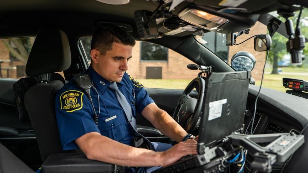
How can officers stay safer behind the wheel when responding to calls? Driving instructors from the Michigan State Police and the Georgia Public Safety Training Center share their tips.
Read More →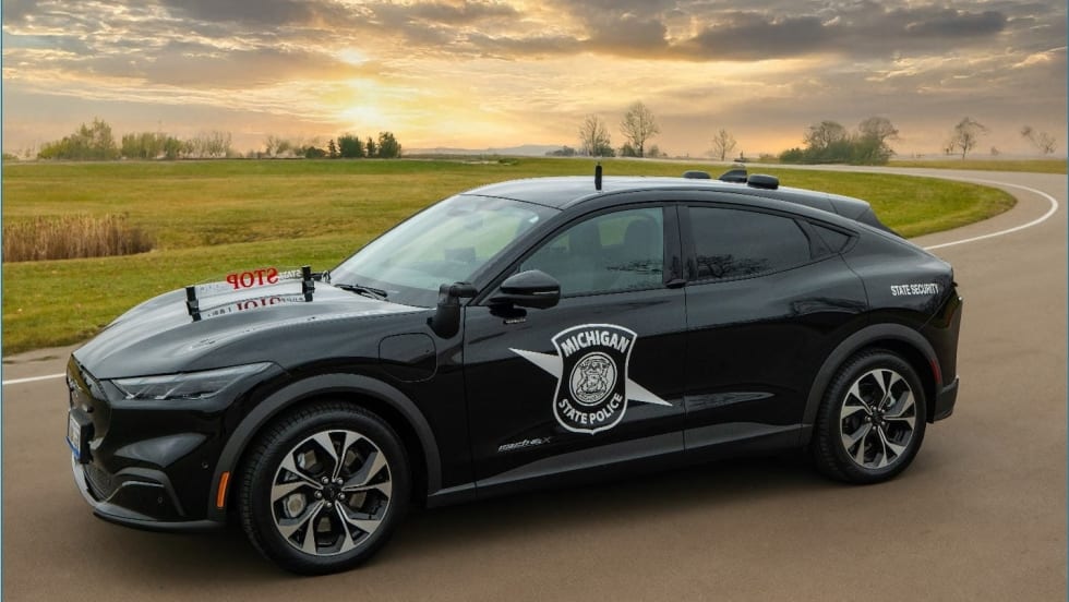
“Adding this battery electric vehicle to our patrol fleet will allow us to study the vehicle’s performance long-term to determine if there is a potential for cost savings and broader applicability within our fleet,” said said Lt. Nicholas Darlington.
Read More →
Typically, battery-electric police vehicles are mostly, at this point, used as administrative vehicles. What will it take for departments to deploy them as patrol units?
Read More →