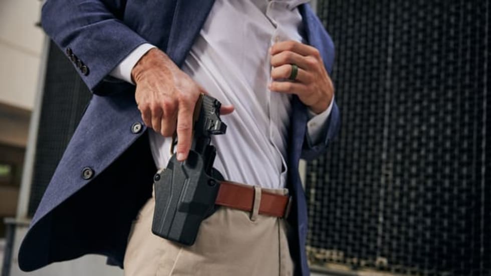
AT&T Technology Sponsorlogo

Digital Ally Adds Mapping Feature to VideoManager Analytics

Digital Ally's VideoManager software will now include a mapping feature that allows users to utilize an overhead map to view routes traversed in videos along with the location of "marked" events. This feature gives officers an interface for pinpointing the location of where recorded video was created.

Digital Ally has added a mapping tool to its VideoManager analytics software that tracks the location of video taken with their GPS-enabled units. 

VideoManager software will now include a mapping feature that allows users to utilize an overhead map to view routes traversed in videos along with the location of "marked" events. This feature gives officers an interface for pinpointing the location of where recorded video was created.

Additional interactivity allows users to view multiple routes simultaneously, highlight routes, track current position during playback, as well as access detailed information for start, stop, and marked points.

Digital Ally is also unveiling a new wireless transfer software package for laptops or MDCs. This cost-effective solution will allow officers to use a laptop or MDC to wirelessly transmit recorded evidence from their in-car video system to a secure location.

The Digital Ally WTM (Wireless Transfer Module) uses technology already in place in many patrol vehicles to provide convenience and ensure chain of custody via wireless transfer.

Departments using wireless transfer to download evidence from Digital Ally systems will also soon be able to wirelessly upload firmware updates and device configurations. Administrators will now be able to instantaneously keep an entire fleet current with the latest updates, newest features and individualized device configurations without having to visit each vehicle.

Digital Ally's new laptop wireless transfer software and wireless updates employ the newly-added support of 802.11n ("Wireless N") technology earlier this year.

About the Author